Geometric survey of a rock wall by drone
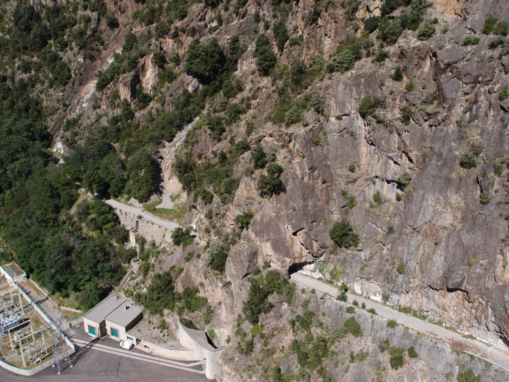
The rock face is situated at the edge of the M2205 road near the Hydro-Electric plant at Valabres, in the territory of the municipality of Roure, in the Alpes-Maritimes.
Client & Project Manager
Principal features
The drone allows you to make flybys in close proximity to the wall, without incurring particular risks. The cost of the mission is also lower, its implementation is simplified and accelerated compared to the hiring of a helicopter. The 3D history models have enabled us to perform trajectographic studies.
DIADES’ task
Our mission was carried out in three steps:
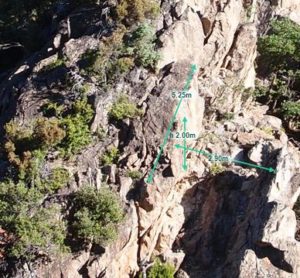
- First, the complete survey of the rock face with an accuracy to the order of 10 cm,
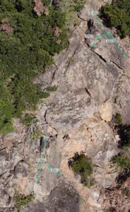
- the second stage was used to increase the reliability of the survey in certain areas of instabilities already identified during the previous visit. The accuracy was to the order of 5 cm,
- Then we made a 3D model to monitor instabilities over time.


